|
| Camping near the winch hut, centre, old cottage on the left. |
The grass is kept short by rabbits, lots of rabbits.
 |
| Rail carts were used to carry goods to the lighthouse from the pier. |
 |
Ailsa Craig lighthouse and the winch hut, used to pull the rail carts.
Being on Ailsa Craig is like going back in time, everywhere you look are the remains of some building or machine, it feels like a museum in many ways. The infostructures left behind are from 2 separate enterprises, the running of the lighthouse and the quarrying of granite along with the habitation of the workers and their families. Ailsa Craig granite has been used for making curling stones and roads since 1909, it is of a fine quality, the granite is still quarried but now extracted via landing craft and only to make curling stones. |
 |
Front: quarry peoples houses and ruins.
Far left: old cottage and site of tearoom.
Red roof: gas works to power light and fog horns.
Lighthouse and keepers accommodation on the right. |
 |
| Old rail tracks. |
 |
The disused south foghorn and air tanks.
Standing on the shoulders of giants.
 | Inside the foghorn towers: Old fog horn workings.
|
 | Air tanks.
|
|
There is a trig point at the top of the Craig, 338m high, just a bit higher than Holy Isle. The path up is rough and hard to follow, not far up the path, 120m up from sea level, is a ruin of an old tower, often called the castle. It is 2 stories high with a cellar and spiral stair still partly intact. Depending where you read on the history of this ruin you will find differing opinions of how it was used. It was either built as a manned watchtower, to protect against Spanish invasion in the 16th century, or it was built as an outpost for the monks of Crossraguel Abbey who owned the island in the 15th century. As a place to smoke and salt sea birds caught on the Craig, as food for the monks through the winters. Most of the building is of granite from the island but some of the stone is sandstone which would have been imported from the mainland and carried up to the tower.
 |
| The tower. |
 |
Inside, vaulted ceilings.
|
 |
| Spiral stairs. |
There where 2 amazing things about being on the island in June, one is the amount of sea birds and the other is the amount of wildflowers. The walk up was a journey over meadows of flowers, last time I was on Ailsa Craig it was near the end of the summer and there was almost no growth left, this time the place was colourful, lush and green, and felt much less barren. The view from the top is spectacular, 360 degrees of the lower Clyde and beyond. Arran is clearly visible, due north is Holy isle, easy to see because of its shape, you can see Pladda lighthouse. Looking west you see the south end on Kintyre and Sanda. Island Davaar and the entrance to Campbeltown stand out. Northern Ireland looks a long way off, on a clear day you can probably see from Rathlin down to Belfast Lough. You can see from Galloway all the way up the Ayrshire cost. Loch Ryan is about due south. To the right of Arran you see up past Bute and the Cumbraes, into the north Clyde towards Loch Long. Its a big view and very unusual, sitting up on the top of a huge rock with no other land for miles.
 |
Fields of wildflowers near the top.
Midges at the top where pretty bad! |
We had plenty of time before our departure the 2nd day, leaving to catch the tide north just after lunch was our plan. We walked around to the north fog horn, partly along the beach and partly on the old walkway that gave access for the lighthouse keepers. The north horn is massive, looking like something out of a 1950's sci-fi comic, they where installed in 1886 and fell silent in 1966 when a single fog horn was used instead. Since 1987 no horn has sounded on Ailsa Craig. It was noted by a visitor to the island that the old horn sounded like a "dying brontosaurus"! The picture below does not do the true size of this structure justice.
 |
| The north horn. |
 |
| The old walkway, "The Loups" as they were known. |
Just beyond the north horn we found ourselves under the nesting cliffs of hundreds of puffins, guillemots and razor bills. The noise was amazing! Sounds that are reminiscent of stags in the rut, some that sounded like monkeys, drumming sounds, clicking, grunting, lots and lots of constant noise. As we had paddled in the last 2 km to land, and as we left, we found puffins regularly passing close to check us out, they seemed particularly interested in us. There is definitely something about sea birds that makes them so different from land birds, they are bright and colourful and clean. They inhabit the cliffs, the sky, the water and the deep, its a real privilege and quite humbling to see them all together, in such numbers.
 |
| All the dots in the sky are birds. |
 |
| Land of the puffins. |
At midday the small tourist ferry arrived and a bunch of visitors disembarked to explore the island, we got to chat to the ferryman, his knowledge of the island was evident and interesting. After lunch we headed home, another heavy carry across the boulders, down to low tide. A breeze had been freshening for some of the morning and as we left there was a streak of white water from the south west wind pushing around the cliffs, we launched into the lee and flat sea. Its always an interesting process of evaluating the likely conditions but everything becomes a lot more considered on a long crossing. Forecast was for up to a force 3 with a force 4 in the North Channel, which is not far away. The wind and white tops hinted at a 4, the question is will that wind stay or increase? We couldn't see Arran because of hazy conditions, until we had paddled for an hour or so, deck compasses pointed the way. It turned out to be a nice bright crossing and we got to see Pladda lighthouse as our target, the wind came and went and there was a constant playful swell which we could surf. It turned out the direction of the waves didn't really help us, if we surfed we ended up going too far east. The tide picked up and started to carry us east as we got within 5km of Pladda, we ended up ferry gliding to make the lee of Pladda. Interestingly we could hear the overfalls off the south west corner of Pladda, they sounded like a massive waterfall and large white capped turbulent waves could be seen from over 1km away. Anyone who has ever paddled into overfalls, or gone very near, will know that sound and what it hints at, rough, chaotic, dumping waves, fast flowing water with strong eddylines. Fun if that's what you are ready for, frightening if you didn't know they were there, and would have been unwanted after a 5 hour paddle! The overfalls south of Pladda can kick up the biggest conditions around Arran, especially with wind against tide. Other places to be aware of are headlands like Bennan head, Dippen Head, Kings Cross, Drumadoon Point, Imachar Point and others, which can all have larger conditions than you might expect.
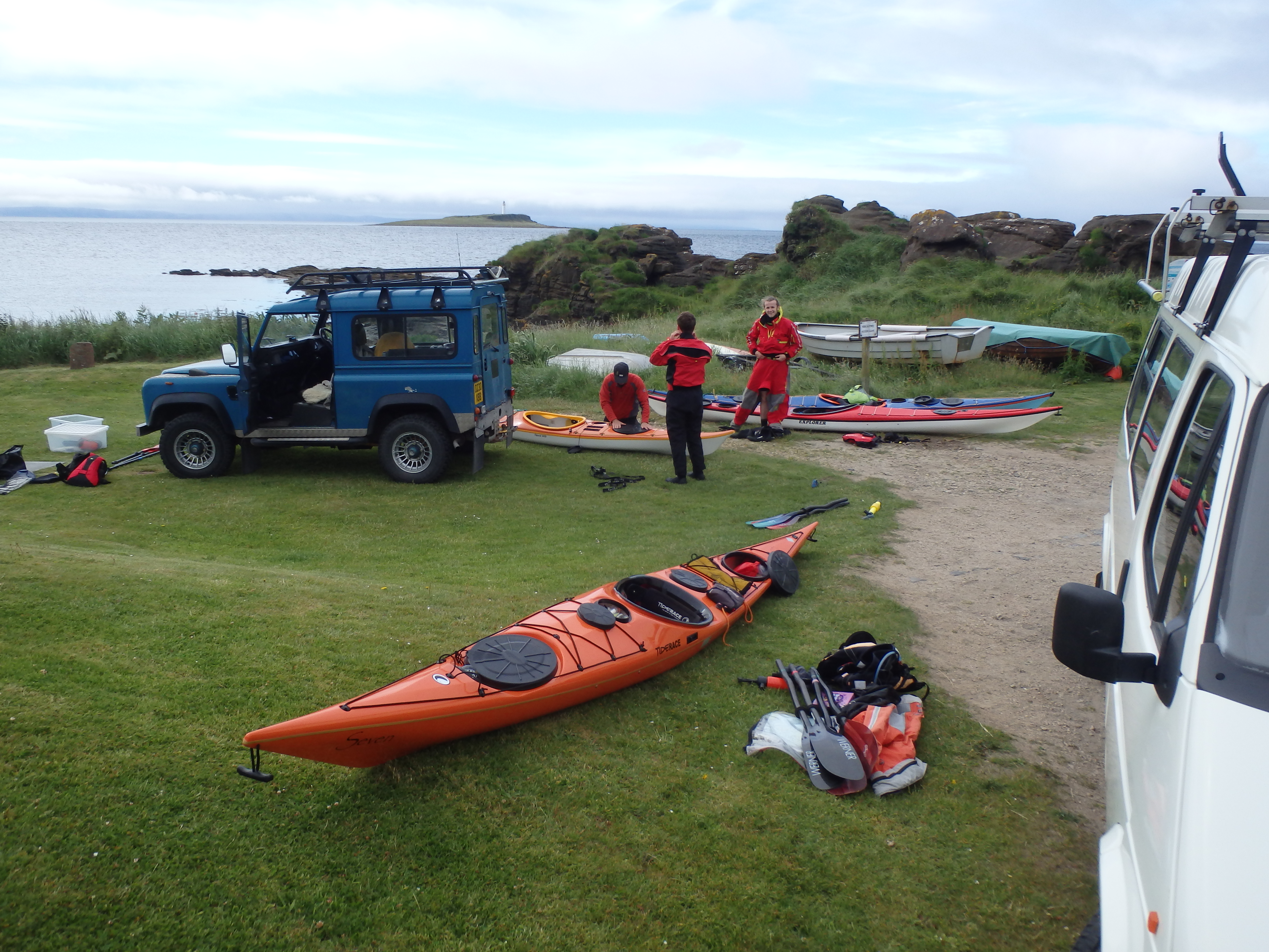
Getting ashore back at Kildonan was much needed, our journey back had taken nearer 5 hours and getting up and walking was bliss. Unpack, boats on roof racks and heading home.
For many of us who kayak, the desire to learn and gain experience is fuelled by wanting to explore further afield. We train and build our skills not just for the skills themselves but to allow us to go to sea and make good choices, to get proficient in our craft and gain both the ability and the confidence to journey. Through doing this we gain experience and knowledge, we learn more about ourselves and what we are capable of and add a bit more purpose to our lives.
Happy paddling.
Luke.
 |
| Map of Ailsa Craig. |
 |
| Isobar chart for the first day. |